Some of NYC's Best Riding: Exploring East of the Tappan Zee Bridge
It was a few weeks back the Gov. Cuomo bridge, formerly known as the Tappanzee, opened it’s bike pathway. The team was excited to see what new routes this could open up for us. I have wanted to explore more roads on the east side of the Hudson since my last ride around Katonah with my teammate, Mitchell. I had all Saturday to ride so I planned a trip for exactly that.
I’d start my loop on the east side of the bridge, pass through a few parks and roads that looked good and then end up back at the bridge. There were only a few roads that I’ve ridden over in that area so I actually gave a new program, called Komoot, a try. It’s a cycling route planner and navigation app, similar to RideMyGPS but one of the features is that it will suggest routes that are better for cycling. This feature is apparently very well regarded in Europe and has gained foothold in the states.
Kamoot is focused on routing off main roads, and on quieter side roads. I simply put in a few waypoints, some were suggestions on Komoot, and made a nice 73 mile route. I rolled north on Bedford Road and Saw Mill River Road, passing the Town of New Castle, rolled through Somers, looped back Northeast to Clarence Fahnestock State Park, then South back to though Sleepy Hollow to the Cuomo Bridge. I didn’t bother calculating how many total miles this was going to be ahead of time although I knew it was somewhere around 30 miles one way to the bridge from my apartment so I could estimate from there.

Complete Route
Fueling: Long rides require fueling and, as our coach tells us, have the fuel on board prior to the race (in this case ride but you get the point). So first, I made sure I had a large, balanced dinner the night before and a good breakfast. I wanted to drink enough water the day before, this means a little more than I’d usually have, perhaps 4-5 large water bottles. Ideally finish those before 6-7 o’clock so you can sleep through the night. Breakfast consisted of overnight oats with honey and fruit as well as 2 hard boiled eggs. Coffee of course. I brought (2) clif bars along with me, a homemade savory rice cake, and (2) fruit gel snacks. I knew I was going to have to make a few stops to eat and refill water bottles.

Ride Fuel
Route Highlights
A countryside start: After getting off the bridge you end up having to climb your way up, away from the river. I made my way up Neperan Road, around the Tarrytown Reservoir onto Bedford Road. Bedford Road was definitely an early highlight. The first sign in my mind was “yeah, this was a great idea”. I went over rolling hills and past the Blue Hill farm. I was in pretty countryside and fresh air.

Countryside start, Bedford Road.
Meandering roads and hills: Saw Mill River Road took me up to The New Croton Reservoir. Croton Turnpike/Somerstown Turnpike is a nice fairly flat road that meanders it’s way along the reservoir. It a faster speed limit but with a wide shoulder, reminded me of 9w that way. I stayed on route 100 heading north towards Somers and Croton Falls. Croton Falls Road was a nice segment. With a speed limit of 35 and passing through some nice wooded areas. I’d note there is a trout stream marked so I’ll be returning with my rod next time. This is where the first good climb took place. An approximately 4 mile incline of about 2-3% grade, taking you up some 400 feet.
The Wall known as Tinker Hill Road: There are a few up and downhills on this route from Mahopac to Peekskill Hollow Road. But I can honestly say I wasn’t prepared when I turned onto Tinker Hill Road. I took a right onto what looked like a fairly steep climb. This quickly turned into a damn wall of a road. Cursing whoever build this stupid route I began to zigzag up this 13-14% gradient which even hit a whopping 19-20% in some parts. I would come to a turn which I surely thought would be the end only to see more of this wall. A car passed me in low gear huffing and puffing itself. The road noted “no trucks”, “No shit!?” I thought. This went on for only about half a mile, which wouldn’t be so bad except it was at mile 70-70.5 on this excursion. I can only say this reminded me of App Gap, the famous finishing climb to the Queen Stage at GMSR. It was another time when the thought of getting off the bike and walking crossed my mind.
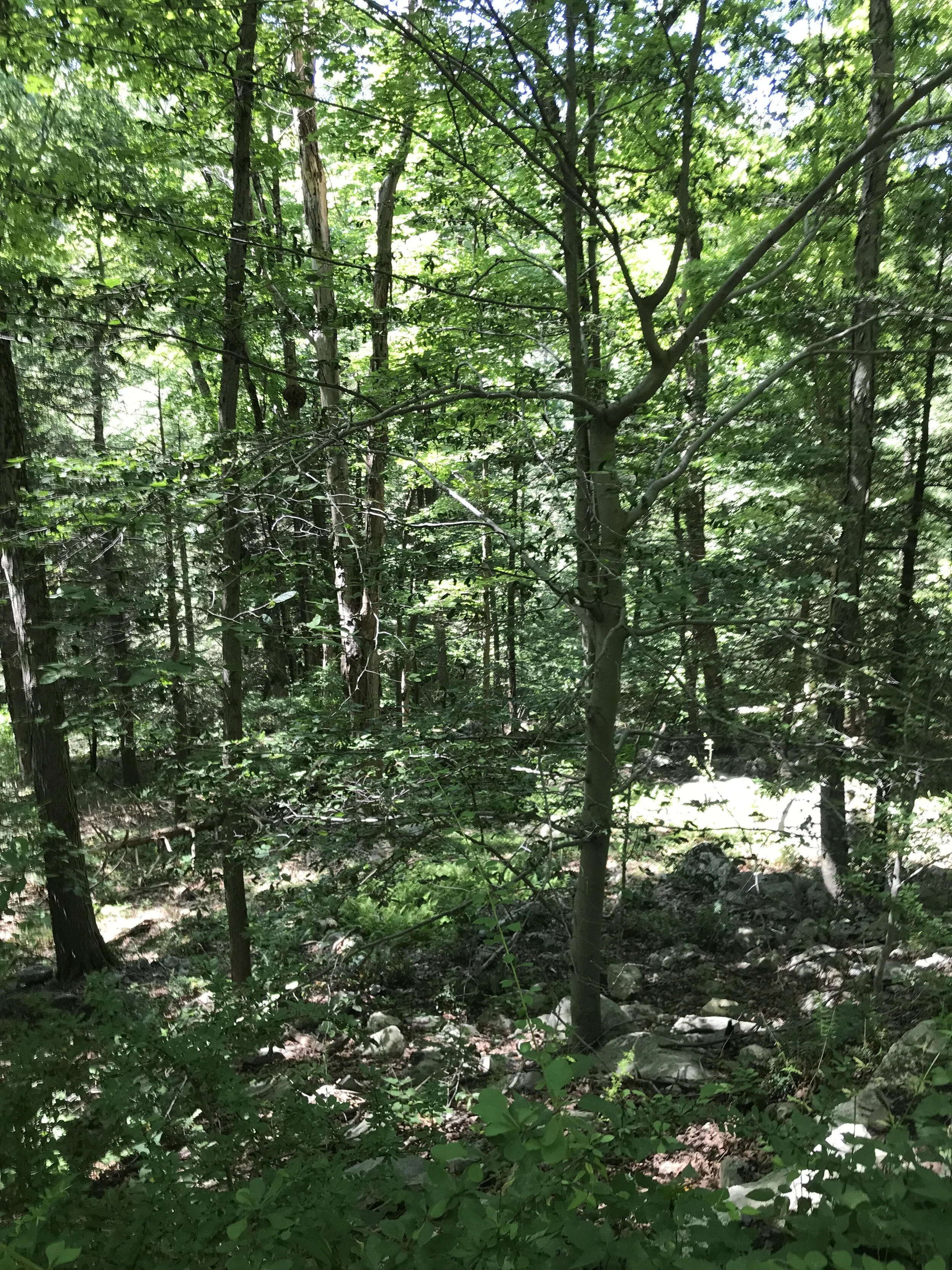
Clarence Fahnestock State Park: Thank goodness there were some downhills after that into the park. I turned onto Sunken Mine Road to make my loop through the park. It’s an all gravel road, not maintained and not open through the winter. It provided some very nice views of ponds, beaver dams, and a few spots to pitch a tent. This looked to be a popular hiking destination too. I’d highly recommend a visit, no matter how you like to travel, with wheels or on foot.

Fahnestock State Park
The Descent: I turned right on to Dennytown Road from Sunken Mine Road, back onto pavement. This decent took me down about 3 miles ranging from a gentle -2% to -12%. Being this my first time on this road I took it pretty easy. I didn’t know what was around the next turn, be it a stop sign or a sharp turn, each time pleasantly surprised that I could let go of the brakes and roll out of it. All I can say that was an absolutely joy. Not the bike leaning, barely holding the corners joy, (although you could probably make it that) but the joy of being about to fly down at 30+ on great pavement and not have to work for 3 miles. What a great dessert after chewing on Tinker Hill road and Sunken Mine gravel. Highly recommend!

Upper portion of route, through Fahnestock State Park.
The Return to the bridge: This I will admit was not as much fun as the first ¾ of the loop. I altered the route from what Komoot had recommended. I somewhat regret this as I stayed on the main roads through towns where there were more cars and the roads were crap, but I was getting a little tired by this point and wanted the fastest route home.
I definitely recommend Komoot. It was nice to put in the couple of points and let the program make the loop for me. Now I know a few more pretty roads east of the Hudson.
I made it to the bridge at just over 100 miles. Refilled my water bottles and headed for home. The last 20-30 miles of this clip were grueling. They almost always are on long rides.
I’d gotten the question, “what was the hardest ride you’ve done?”. Well the hardest ride is always the one you’re doing. When I get home, stretch, sit down with a shake or a beer, or both: “ehh, it wasn’t that bad.”
Strava Route: https://www.strava.com/activities/3782917888
RideWithGPS Route: https://ridewithgps.com/routes/33413588